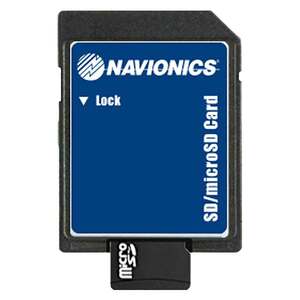
Garmin Navionics Hotmaps Platinum South Map Software


$199.99
Overview
Garmin Navionics Hotmaps Platinum South Map Software - Garmin, the world’s most innovative and recognized marine electronics manufacturer, today announced expanded and enhanced high-resolution relief shading coverage to Navionics Platinum+ premium marine charts for compatible chartplotters. The update from Navionics provides 120% more relief shading coverage for many new coastal and inland waters than previous charts. Combining color and shadow, relief shading gives boaters, anglers and divers an easy-to-interpret, clearer view of what’s below the surface than contour lines alone - and is now available on more than 40,000 additional lakes.
Platinum+ provides boaters, anglers and divers access to an exclusive relief shading overlay with availability in lakes and rivers in the U.S., Canada, Europe, Africa, Australia and New Zealand. Platinum+ offers a variety of features — such as daily chart updates, chart overlays and advanced routing technology — that are designed to smoothly guide boaters on the water, or quickly lead anglers to where the fish may be hiding.
The expanded relief shading, which was recently made available in the Navionics Boating smart device app, reveals the shape of a lake, river and ocean seabeds in a vibrant new color palette that provides a better understanding of depth changes at a glance and makes it easier to identify sharp ledges, points or other changes in bottom structure.
A one-year subscription is included with the purchase of a Navionics Platinum+ chart card, offering a quick and easy way to access unlimited daily chart updates via the Navionics Chart Installer, or using the Plotter Sync feature in the Boating app. Charts also feature up to 1-foot depth contours, community edits, depth shading and shallow water shading options for insight into inland and coastal waters.
Specifications
| Model | MSD/HMPT-S6 |
|---|---|
| Type | Map Software |


CUSTOMER GALLERY