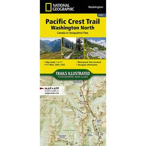
National Geographic Pacific Crest Trail Map - Washington North

$4.92

$4.92
Overview
National Geographic Pacific Crest Trail Map - The PCT spans 2,650 miles from the Canadian border, through Washington, Oregon, and California to the southern terminus on the Mexican border. The famous trail crosses some of the most wild and scenic landscapes of the western U.S., including six national parks, 25 national forests, 48 wilderness areas, the volcanic Cascade Range of the Pacific Northwest, the snowcapped Sierra Nevada, and the Mojave and Sonoran deserts. More convenient and easier to use than folded maps, but just as compact and lightweight, National Geographic’s Topographic Map Guide booklets are printed on "Backcountry Tough" waterproof, tear-resistant paper with stainless steel staples. A full UTM grid is printed on the map to aid with GPS navigation.
Specifications
| Type | Washington North |
|---|---|
| Model | TI00001002 |


CUSTOMER GALLERY