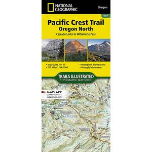
National Geographic Pacific Crest Trail Map - Oregon North

$4.92

$4.92
Overview
National Geographic Pacific Crest Trail Map - The Oregon North Topographic Map Guide follows the Pacific Crest Trail (PCT) as it passes through a land of contrasts. After crossing the Columbia River, the trail quickly climbs out of the Columbia River Gorge and settles into a pattern of skirting the enormous cone-shaped stratovolcanoes of the central Cascades. Some, like Mount Hood, are glacier-covered, others like Three Fingered Jack, have craggy tops carved by now melted glaciers. This section of the PCT primarily traverses remote forests with much of the travel in wilderness areas. Highlights of this section include the Columbia River Gorge National Scenic Area and the Mark O. Hatfield, Mount Hood, Mount Jefferson, Mount Washington, and Three Sisters wilderness areas.
More convenient and easier to use than folded maps, but just as compact and lightweight, National Geographic’s Topographic Map Guide booklets are printed on "Backcountry Tough" waterproof, tear-resistant paper with stainless steel staples. A full UTM grid is printed on the map to aid with GPS navigation.
Specifications
| Type | Oregon North |
|---|---|
| Model | TI00001004 |


CUSTOMER GALLERY