ID 702456 | MPN 140
National Geographic
National Geographic Weminuche Wilderness Trail Map Colorado


Save up to $50 on your online order today!
Advertised prices may display a strikethrough or regular price. The strikethrough or regular price represents either 1) the manufacturer’s Minimum Advertised Price (MAP) OR the Manufacturer’s Suggested Retail Price (MSRP) or 2) a price at which the product was offered within the last 90 days.
702456

National Geographic Weminuche Wilderness Trail Map Colorado
by National Geographic
$4.92
Overview
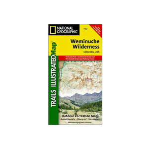
National Geographic Weminuche Wilderness Trail Map Colorado - The Weminuche Wilderness Trails Illustrated map is the most comprehensive and complete recreation map for Colorado's largest wilderness area. Coverage includes: San Juan and Rio Grande national forests; Weminuche Wilderness; Williams Creek; Big Meadows and Rio Grand reservoirs; Chicago Basin, Emerald, and Electra lakes; Wagon Wheel Gap, Wolf Creek, and Rockwood. 14ers: Sunlight Peak, Windom Peak, Mt Eolus; Piedra, Squaw and Molas passes; San Juan Mountains; San Juan, Rio Grande and Los Pinos rivers; Wolf Creek ski area; Portions of the Continental Divide Trail and the Colorado Trail.
- Folded Size: 4.25"x9.25"
- Fully Open Size: 25.5"x37.75"
- Scale: 1:63,360
Specifications
| Model | 140 |
|---|
Reviews
Notify Me When In Stock
You are tracking this product.
You have removed this product alert
Thank You,
An error occurred processing your request. Please try again later.
Please enter a valid email


CUSTOMER GALLERY