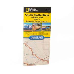
National Geographic South Platte River Map


Overview
National Geographic South Platte River Map - The upper reaches of the South Platte meander through open ranch land interspersed with Wildlife Management Areas and large reservoirs. Some of the best trout fishing in Colorado can be found in this slow moving section of the South Platte including an area known as the ""Dream Stream."" The lower section of the South Platte is known for rugged canyons and elusive fish that require a good map and long hike to access. These two sections of the South Platte are combined in this Map Pack to help anglers find their next 'favorite spot.' More convenient and easier to use than folded maps, but just as compact and lightweight, National Geographic's Fishing & River Map Guide booklets are printed on 'Backcountry Tough' waterproof, tear-resistant paper with stainless steel staples. A full UTM grid is printed on the map to aid with GPS navigation.
- Folded Size: 4.25 x 9.38 in
- Flat Size: 25.5 x 37.75 in
Specifications
| Model | TI00002301 |
|---|


CUSTOMER GALLERY