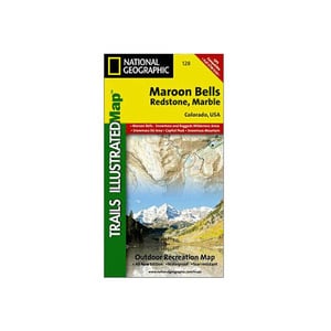
National Geographic Maroon Bells Redstone Marble Trail Map Colorado


$14.95

$14.95
Overview
National Geographic Maroon Bells Redstone Marble Trail Map Colorado - The Maroon Bells/Redstone/Marble Trails Illustrated map is the most comprehensive recreational map for this popular area in the heart of the mountains of Colorado. Coverage includes: White River and Gunnison National Forests; Raggeds and Maroon Bells-Snowmass wilderness areas; the cities of Redstone, Marble, Placita and Woody Creeks; Crystal and Roaring Fork rivers; and Snowmass Lake; Snowmass ski area; 14ers: Snowmass Mountain, Pyramid, North Maroon, Maroon and Capitol peaks, as well as Schofield, McClure, Anthracite, Buckskin East and West Maroon passes.
- Folded Size: 4.25"x9.25"
- Fully Open Size: 25.5"x37.75"
- Scale: 1:40,680
- Map Revised: 2005
Specifications
| Model | 128 |
|---|


CUSTOMER GALLERY