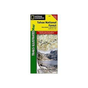
National Geographic Tahoe National Forest-Sierra Buttes Donner California


Strikethrough Pricing on Sportsmans.com
Advertised prices may display strikethrough or regular pricing. Strikethrough pricing on sale items represents: 1) the manufacturer’s Minimum Advertised Price (MAP), 2) the Manufacturer’s Suggested Retail Price (MSRP), or 3) a price at which the product was offered within the last 90 days.Strikethrough pricing on clearance products represents the last regular price the product was offered at before being classified as clearance (not intended to return to our product portfolio in the foreseeable future). A discounted price will remain on clearance products until the product is sold out or otherwise liquidated.
Strikethrough pricing on clearance products represents the last regular price the product was offered at before being classified as clearance (not intended to return to our product portfolio in the foreseeable future). A discounted price will remain on clearance products until the product is sold out or otherwise liquidated.

$4.92
Overview
National Geographic Tahoe National Forest-Sierra Buttes Donner California - This Trails Illustrated map, produced in cooperation with the Eldorado National Forest Interpretive Association, includes comprehensive coverage of the Crystal Basin & Silver Fork Trails areas of Eldorado National Forest in California's Central Sierra Nevada. Coverage includes: high use areas of Eldorado National Forest; Auburn State Recreation Area; western extent of the Desolation Wilderness; Rubicon Trail; Highway 50 Corridor; Carson-Emigrant National Recreation Trail; portions of the Pony Express National Historic Trail; Camp Eldorado & Minkalo (BSA); Middle and South Forks of the American River; hiking, biking, horse, multi-use, OHV, and snowmobile trails; Reno, Truckee, Sierraville, Sierra City and much more.
- Folded Size: 4.25"x9.25"
- Fully Open Size: 25.5"x37.75"
- Scale: 1:63,360
- Map Revised: 2006
Specifications
| Model | 805 |
|---|


CUSTOMER GALLERY